Wildfire loss
What the Eaton Fire took
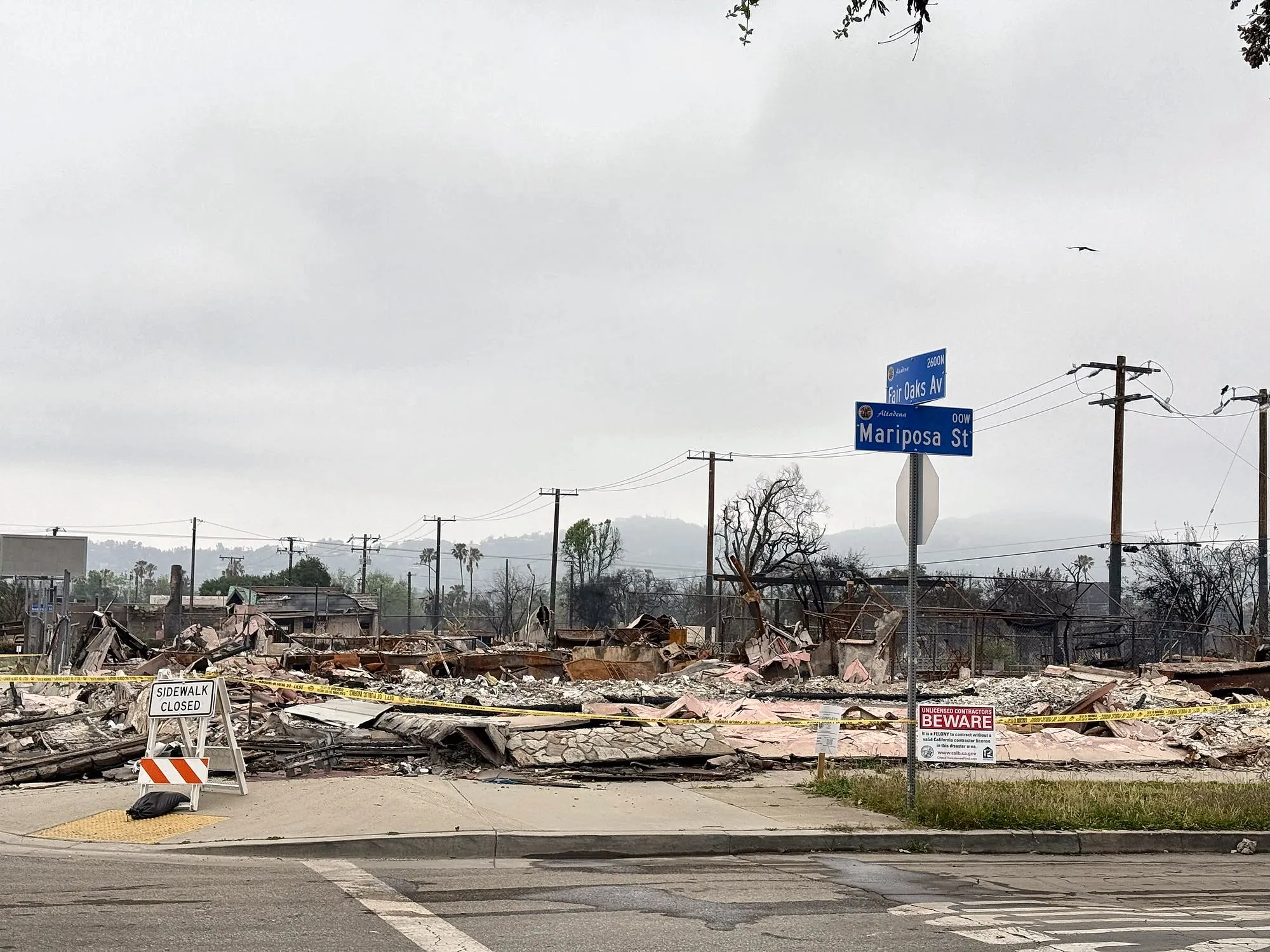
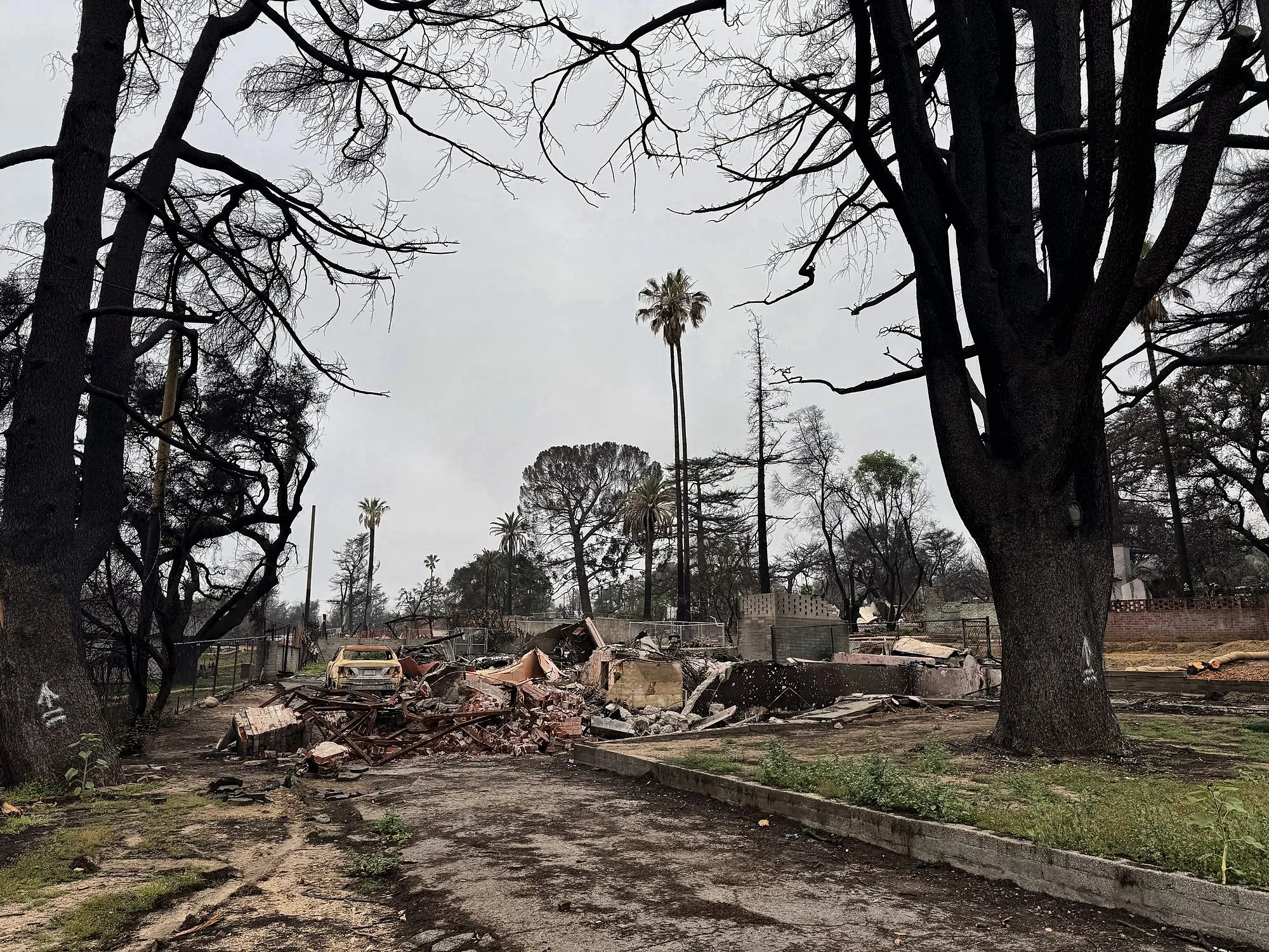
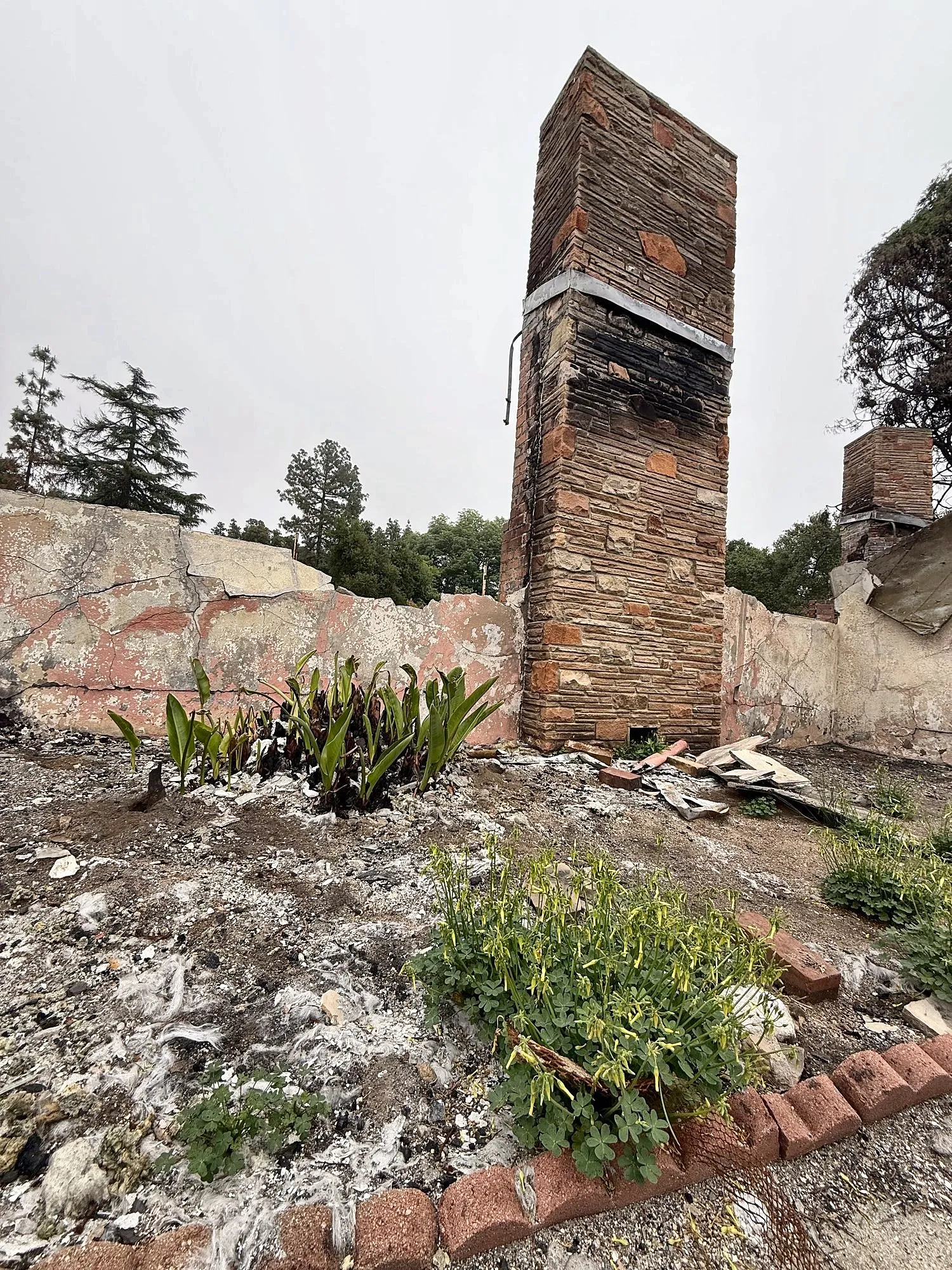
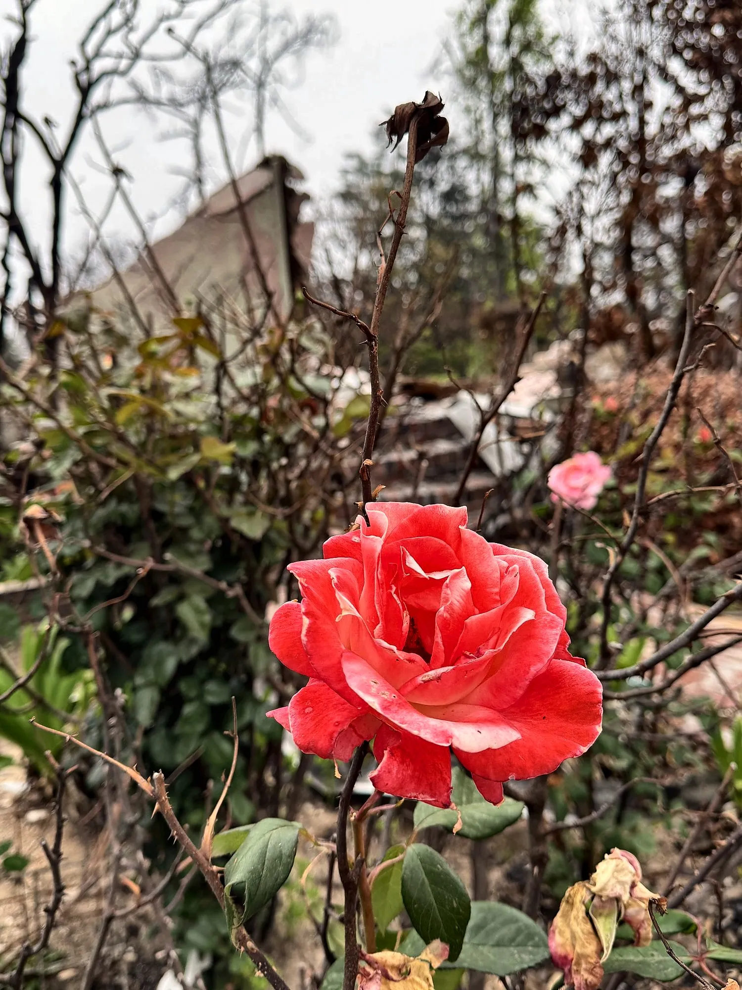
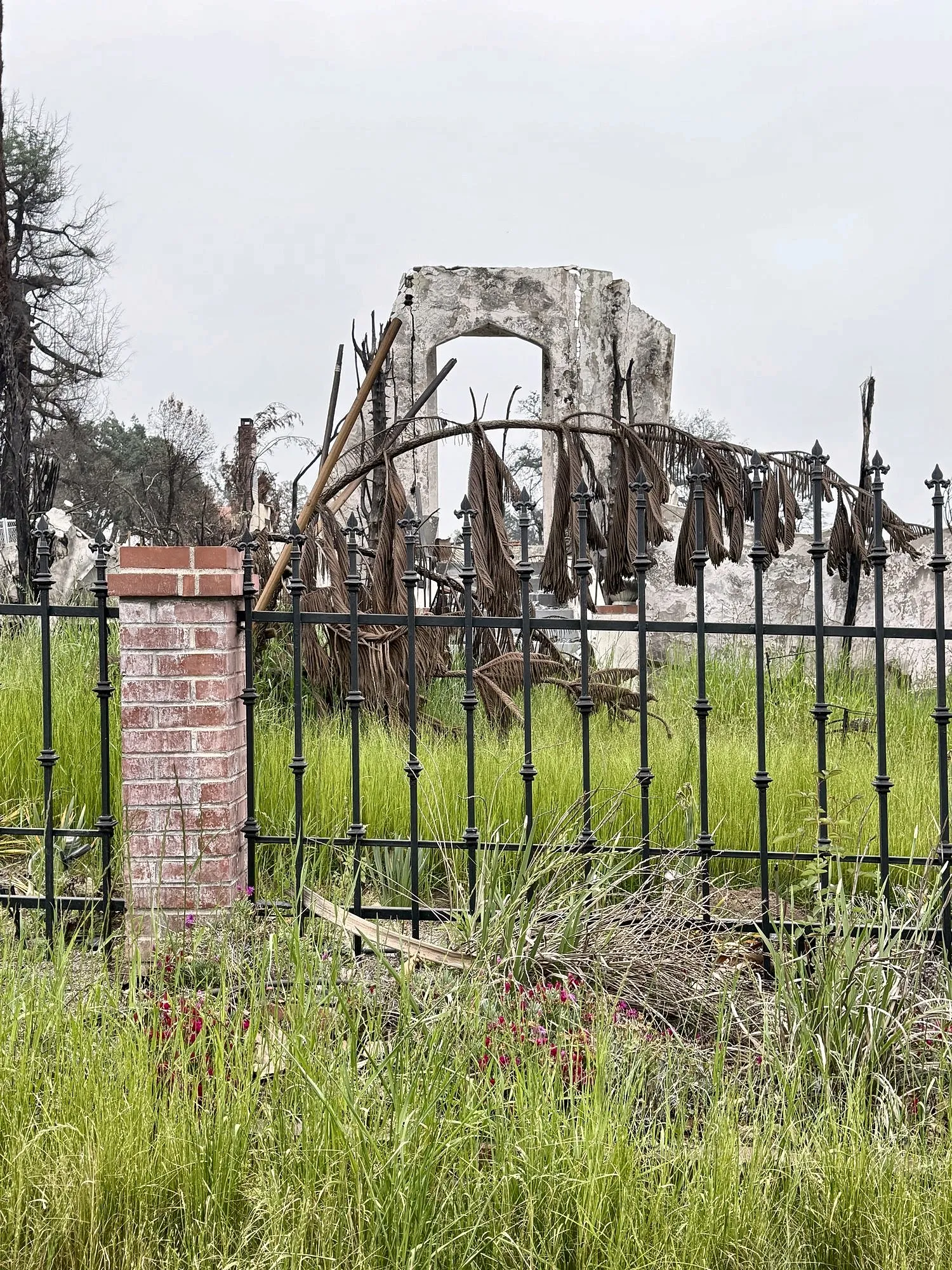
In January 2025 the Eaton Fire swept through the foothills of Altadena, destroying neighborhoods and critical ecosystems. We compiled data-driven estimates to understand the scope of what was lost — and what it will take to Releaf our community.
*Includes urban trees, native vegetation and landscaped flora. Adjusted for an estimated 15% survival rate based on post-fire surveys.
What this loss means for Altadena
Less shade, more heat
Loss of tree canopy means hotter days, reduced walkability and higher energy use in summer — hardest on children and seniors.
Air quality & oxygen
The destroyed trees once filtered tons of airborne particles and produced enough oxygen for over 1,000 people a year.
Soil stability
Burned shrubs and roots leave slopes vulnerable to erosion and flooding — especially dangerous during winter rains.
Habitat collapse
Vital food and shelter for local birds, bees and pollinators were wiped out. Replanting native species is urgent to restore biodiversity.
How we estimated these numbers
- Mapped the Altadena burn area (~8,500–10,000 acres) using Cal Fire perimeter data.
- Assessed land type (residential vs. wildland) with county GIS and vegetation data.
- Urban tree & plant density: an average of 6–10 mature trees and 200–400 smaller plants per lot.
- Wildland vegetation: oak woodland, chaparral and sage scrub densities.
- Adjusted totals for ~15% survival and resprouting, based on post-Station Fire data.
These are estimates, not survey counts. If you have better data — or want our GIS workbook — email us.
Now the good part.
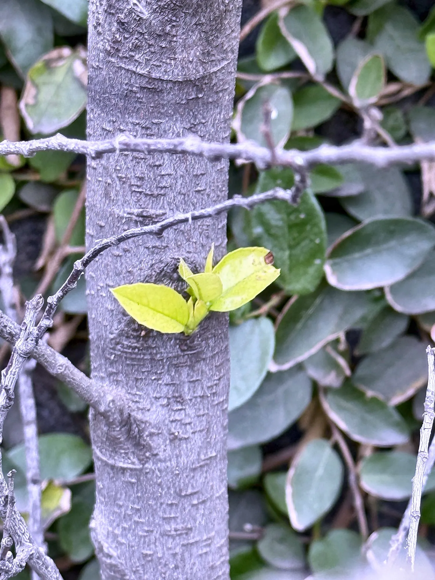
See how many lots a donation replants — and what it costs to bring one back.